

The astronomical coordinate system is built on the basis of the geographic coordinate system, is a powerful tool to help astronauts navigate in space.
We are no strangers to GPS and Google Map, tools that tell us where we are on the surface of the Earth and what the coordinates are. And the coordinates are represented by latitude and longitude.
This is the way to determine the position on the ground, what about in the universe? It’s a place where GPS can’t be used, the surroundings are dark, so what to do?
In fact, the way astronauts position objects in outer space is similar to that on Earth, but with a more extensive version. It is called the “astronomical coordinate system”.
During space exploration, when a meteor or a small star is detected and people under the Earth want to see it together, the astronomical coordinate system will be used. “The goal is to be in the sky. It’s like longitude and latitude on Earth.” – said Rick Fienberg, spokesperson for the American Astronomical Association.
“Although this is completely false compared to reality, but this concept helps us to construct a coordinate system for use in the universe.” Said Christopher Palma, professor of astronomy and physics at Pennsylvania State University.

Geocentric theory gives us the basis for building the astronomical coordinate system.
So how is this “extended version” different from the original version?
It will not have the equator, but there will be a “celestial equator” – the projection of the equator into space.
Instead of latitude, we have “equatorial” – measured north or south of the celestial equator. And instead of meridians, we use “chained” – measured by an angle east of the celestial equator.

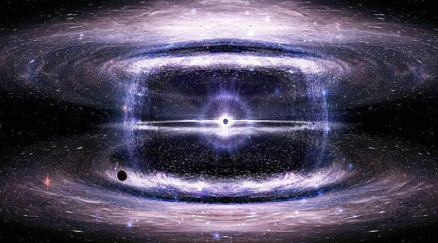
This galaxy is called 2XMM J143450.5 + 033843.
Because with the Earth, the universe is still rotating, so the degrees will be replaced by the hour angle. For example, 180 degrees would equal 12 hours.
Astronauts aren’t the only ones who must be at the heart of the astronomical coordinate system. Anyone who wants to observe the stars to determine their direction or position can use this coordinate system. Most boats are equipped with GPS, but mariners should always know the astronomical coordinates in case the GPS does not work.
“If they can see the North Pole, they will be able to determine the north direction, and by a calculation they will also find the remaining directions and also find their own coordinates, thanks to the coordinates of the North Pole in the astronomical coordinate system” – explained M Fienberg.